
WIKIARCHIVES.SPACE
The Human Spaceflight Archive


Information
- Taken in
- Space
- Author
- NASA
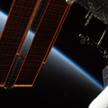
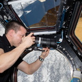
- Description
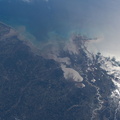
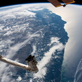
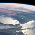
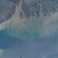
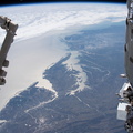
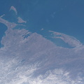
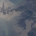
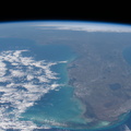
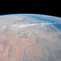
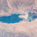
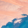
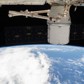
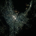
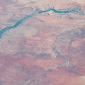
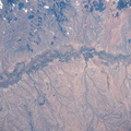
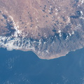
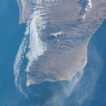
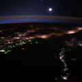
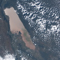
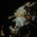
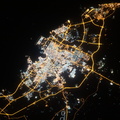
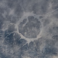
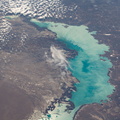
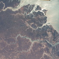
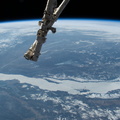
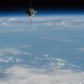
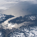
- The Mississippi River runs through New Orleans and into the Gulf of Mexico on the southeast coast of Louisiana. At the right are Lake Pontchartrain and Lake Borgne. The International Space Station was orbiting 264 miles above western Mississippi when this photograph was taken
- Created on
- Friday 28 February 2020
- Albums
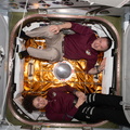
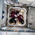
- ISS (WIP) / EXPEDITIONS / EXPEDITION 62
- Source link
- https://www.flickr.com/photos/nasa2explore/albums/72157709993523452
- Visits
- 83
- Rating score
- no rate
- Rate this photo
- License
- CC BY-NC-ND
- Modified by WikiArchives
- No (original)
- Downloads
- 1
EXIF Metadata
NIKON CORPORATION NIKON D5
- Make
- NIKON CORPORATION
- Model
- NIKON D5
- DateTimeOriginal
- 2020:02:28 16:54:47
- ApertureFNumber
- f/13.0
Powered by Piwigo