, in a mission ranging from the tropical rain forests of Central America to frigid Antarctica.")
WIKIARCHIVES.SPACE
The Human Spaceflight Archive
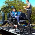
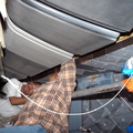
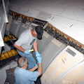
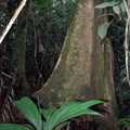
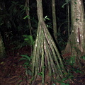
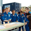
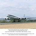
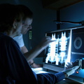
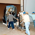
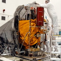
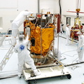
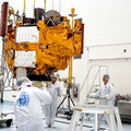
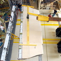
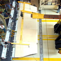
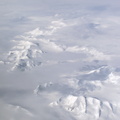
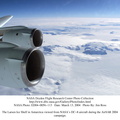
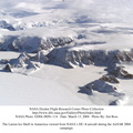
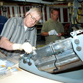
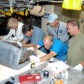
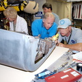
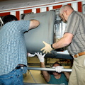
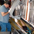
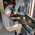
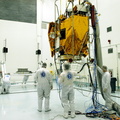
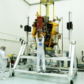
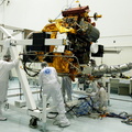
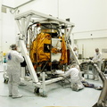
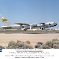
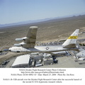
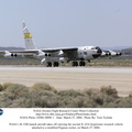
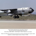
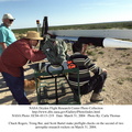
This is a photograph from the left side of the aircraft as NASA's DC-8 does an AirSAR 2004 research "line" over Honduras. AirSAR 2004 is a three-week expedition by an international team of scientists that will use an all-weather imaging tool, called the Airborne Synthetic Aperture Radar (AirSAR), in a mission ranging from the tropical rain forests of Central America to frigid Antarctica.


Information
- Taken in
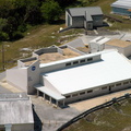
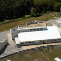
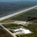
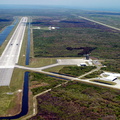
- Edwards Air Force Base
- Author
- NASA
- Description
-
This is a photograph from the left side of the aircraft as NASA's DC-8 does an AirSAR 2004 research "line" over Honduras. AirSAR 2004 is a three-week expedition by an international team of scientists that will use an all-weather imaging tool, called the Airborne Synthetic Aperture Radar (AirSAR), in a mission ranging from the tropical rain forests of Central America to frigid Antarctica.
- Created on
- Tuesday 2 March 2004
- Albums
- US SPACE PROGRAM / AERONAUTICS RESEARCH / DC-8
- Source link
- https://www.dfrc.nasa.gov/Gallery/Photo/DC-8/index.html
- Visits
- 13
- Rating score
- no rate
- Rate this photo
- License
- Public Domain
- Modified by WikiArchives
- No (original)
- Downloads
- 1
Powered by Piwigo