
WIKIARCHIVES.SPACE
The Human Spaceflight Archive


Information
- Taken in
- Johnson Space Center
- Author
- NASA
- Description
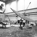
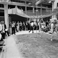
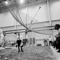
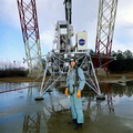
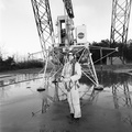
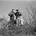
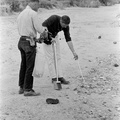
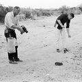
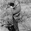
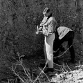
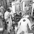
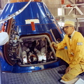
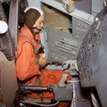
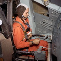
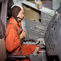
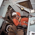
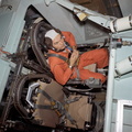
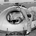
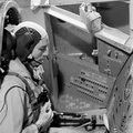
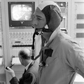
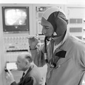
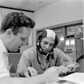
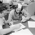
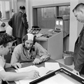
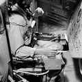
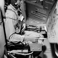
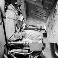
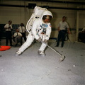
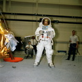
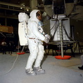
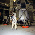
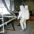
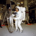
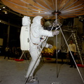
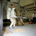
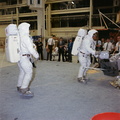
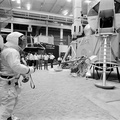
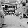
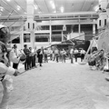
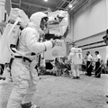
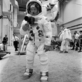
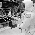
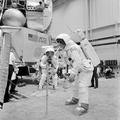
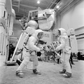
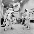
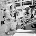
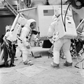
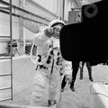
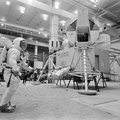
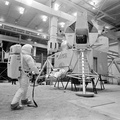
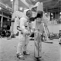
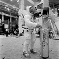
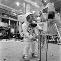
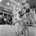
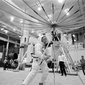
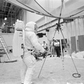
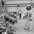
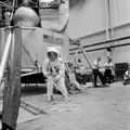
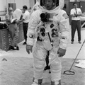
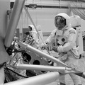
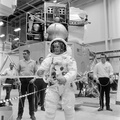
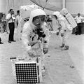
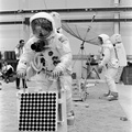
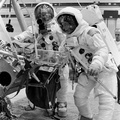
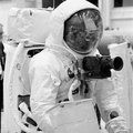
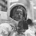
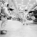
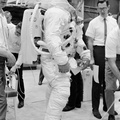
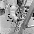
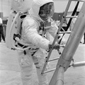
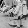
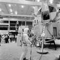
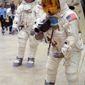
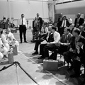
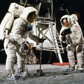
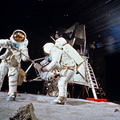
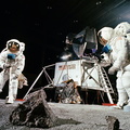
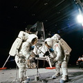
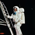
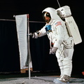
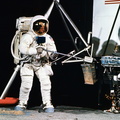
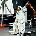
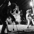
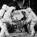
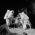
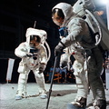
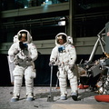
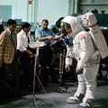
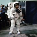
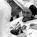
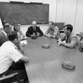
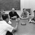
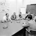
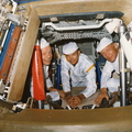
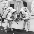
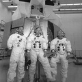
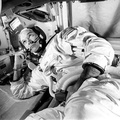
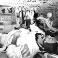
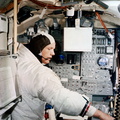
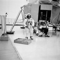
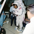
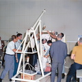
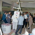
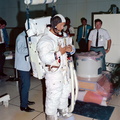
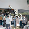
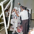
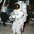
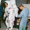
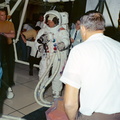
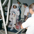
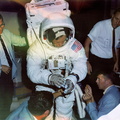
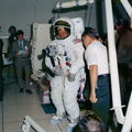
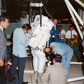
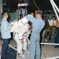
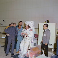
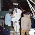
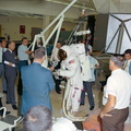
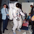
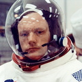
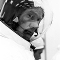
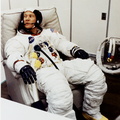
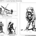
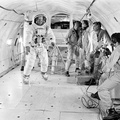
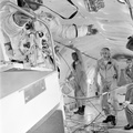
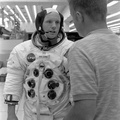
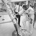
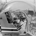
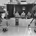
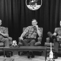
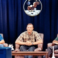
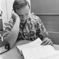
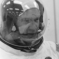
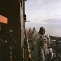
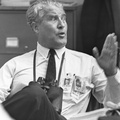
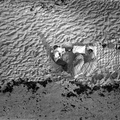
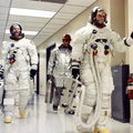
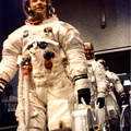
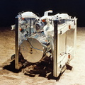
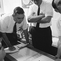
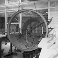
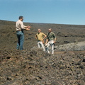
- Neil prepares to deploy S-band antenna, apparently ensuring that he has a rough alignment. If Neil had actually done the alignment during the EVA, the earth would have been about 60 degrees above the western horizon. That is roughly the direction, relative to the orientation of the simulator, Neil is looking. Evidently, someone identified a feature on the ceiling at about the right relative azimuth and elevation to give Neil a sense of the direction, relative to the spacecraft, and how high up he'd have to look to find Earth. 15 or 18 April 1969. Scans courtesy Mike Gentry, Jody Russell, and Kathy Strawn, NASA Johnson.
- Created on
- Friday 18 April 1969
- Albums
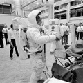
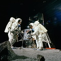
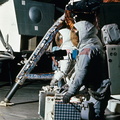
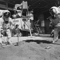
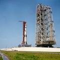
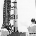
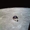
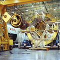
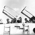
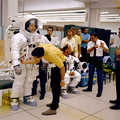
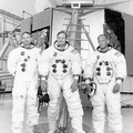
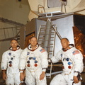
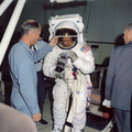
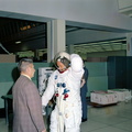
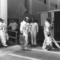
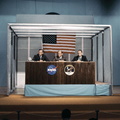
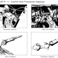
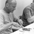
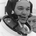
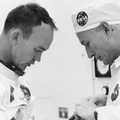
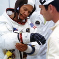
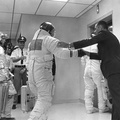
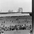
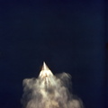
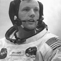
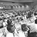
- US SPACE PROGRAM / APOLLO / APOLLO 11 / Training and Pre-Flight
- Source link
- Visits
- 123
- Rating score
- no rate
- Rate this photo
- License
- Public Domain
- Modified by WikiArchives
- No (original)
- Downloads
- 1
Powered by Piwigo