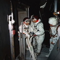
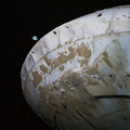
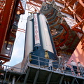
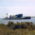
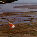
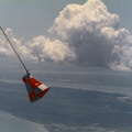
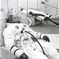
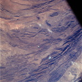
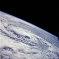
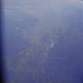
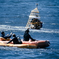
 space mission. This photograph was taken during a pass over Georgia, between Savannah and Brunswick. Altitude of the spacecraft was 100 nautical miles. Numerous jet aircraft contrails can be seen over the Atlantic Ocean. Sun glint on the surface of the ocean permits oceanographers to determine conditions of the water. This photograph was taken April 4, 1968, three hours and 14 minutes after liftoff, using Eastman Kodak SO-121 high resolution aerial Ektachrome film (exposure setting f/5.6 at 1/500 second), in a J. A. Maurer model 220G camera.")
WIKIARCHIVES.SPACE
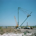
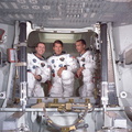
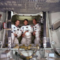
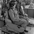
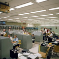
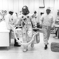
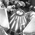
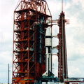
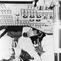
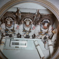
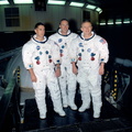
The Human Spaceflight Archive


Information
- Taken in
- Space
- Author
- NASA
- Description
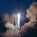
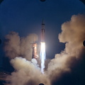
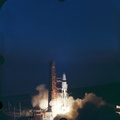
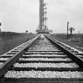
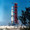
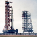
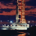
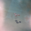
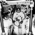
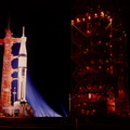
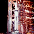
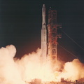
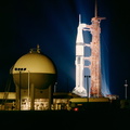
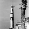
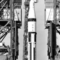
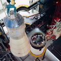
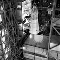
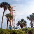
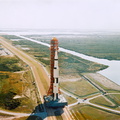
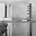
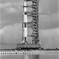
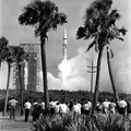
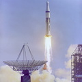
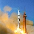
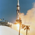
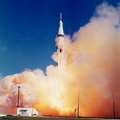
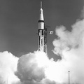
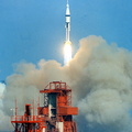
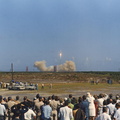
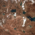
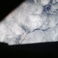
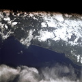
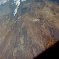
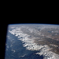
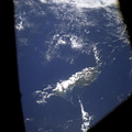
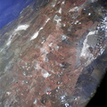
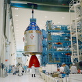
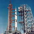
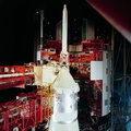
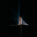
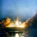
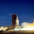
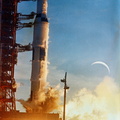
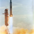
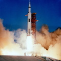
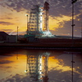
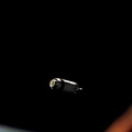
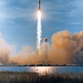
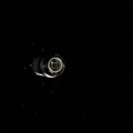
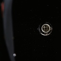
- View of the east coast of the United States as photographed from the National Aeronautics and Space Administration's unmanned Apollo 6 (Spacecraft 020/Saturn 502) space mission. This photograph was taken during a pass over Georgia, between Savannah and Brunswick. Altitude of the spacecraft was 100 nautical miles. Numerous jet aircraft contrails can be seen over the Atlantic Ocean. Sun glint on the surface of the ocean permits oceanographers to determine conditions of the water. This photograph was taken April 4, 1968, three hours and 14 minutes after liftoff, using Eastman Kodak SO-121 high resolution aerial Ektachrome film (exposure setting f/5.6 at 1/500 second), in a J. A. Maurer model 220G camera.
- Created on
- Thursday 4 April 1968
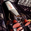
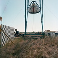
- Albums
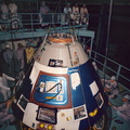
- US SPACE PROGRAM / APOLLO / APOLLO 6 / Mission Photos (Edited)
- Source link
- https://www.flickr.com/photos/nasa2explore/9344552883/in/album-72157634749388057/
- Visits
- 172
- Rating score
- no rate
- Rate this photo
- License
- Public Domain
- Modified by WikiArchives
- No (original)
- Downloads
- 0
Powered by Piwigo