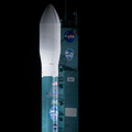
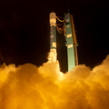
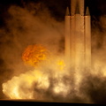
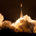
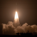
, a mission to measure the changing height of Earth's ice, on Sept. 13, 2018 at Vandenberg Air Force Base (VAFB) in California. ICESat-2 will launch aboard a United Launch Alliance Delta II, the rocketâs final mission, from Space Launch Complex 2 at VAFB. Launch is scheduled for 8:46 a.m. EDT (5:46 a.m. PDT).")
WIKIARCHIVES.SPACE
The Human Spaceflight Archive


Information
- Taken in
- Vandenberg
- Author
- NASA/Kim Shiflett
- Description
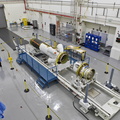
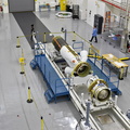
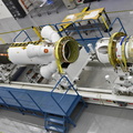
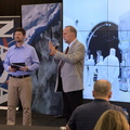
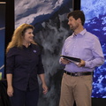
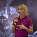
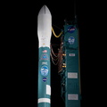
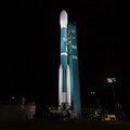
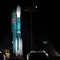
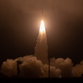
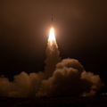
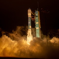
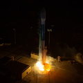
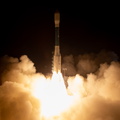
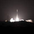
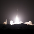
- Lori Magruder, University of Texas at Austin, ICESat-2 science definition team lead, speaks to members of the news media and social media participants during a prelaunch mission briefing for NASA's Ice, Cloud and land Elevation Satellite-2 (ICESat-2), a mission to measure the changing height of Earth's ice, on Sept. 13, 2018 at Vandenberg Air Force Base (VAFB) in California. ICESat-2 will launch aboard a United Launch Alliance Delta II, the rocketâs final mission, from Space Launch Complex 2 at VAFB. Launch is scheduled for 8:46 a.m. EDT (5:46 a.m. PDT).
- Created on
- Thursday 13 September 2018
- Albums
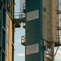
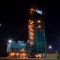
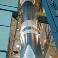
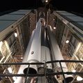
- US SPACE PROGRAM / SATELLITES / DELTA II / ICESat-2 / Rocket preparation
- Source link
- https://www.flickr.com/photos/nasakennedy/albums/72157694494384695/page1
- Visits
- 27
- Rating score
- no rate
- Rate this photo
- License
- CC BY-NC-ND
- Modified by WikiArchives
- No (original)
- Downloads
- 0
EXIF Metadata
Canon Canon EOS 5D Mark IV
- Make
- Canon
- Model
- Canon EOS 5D Mark IV
- DateTimeOriginal
- 2018:09:13 16:37:33
- ApertureFNumber
- f/3.2
Powered by Piwigo