
WIKIARCHIVES.SPACE
The Human Spaceflight Archive


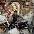

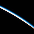


Information
- Taken in
- Space
- Author
- NASA
- Description
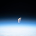
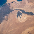
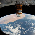
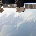
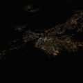
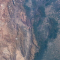
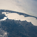
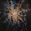
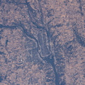
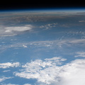
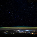
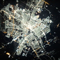
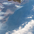
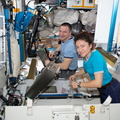
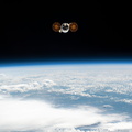
- The Nottaway River empties into the southern tip of James Bay in the Canadian province of Quebec. The International Space Station was orbiting 252 miles above North America and 189 miles south of James Bay at the time this photograph was taken.
- Created on
- Tuesday 8 October 2019
- Albums
- ISS (WIP) / EXPEDITIONS / EXPEDITION 61
- Source link
- https://www.flickr.com/photos/nasa2explore/albums/72157704730697552
- Visits
- 22
- Rating score
- no rate
- Rate this photo
- License
- CC BY-NC-ND
- Modified by WikiArchives
- No (original)
- Downloads
- 0
EXIF Metadata
NIKON CORPORATION NIKON D5
- Make
- NIKON CORPORATION
- Model
- NIKON D5
- DateTimeOriginal
- 2019:10:08 19:10:10
- ApertureFNumber
- f/13.0
Powered by Piwigo