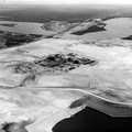
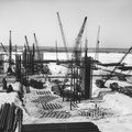
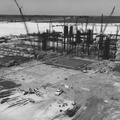
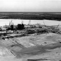
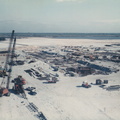
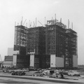
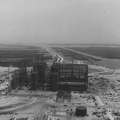
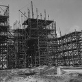
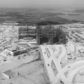
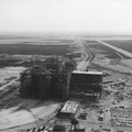
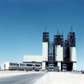
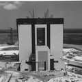
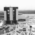
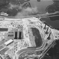
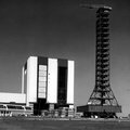
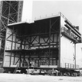
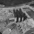
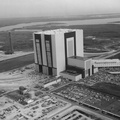
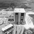
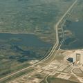
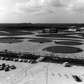
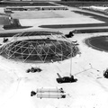
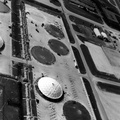
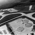
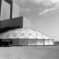
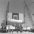
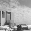
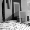
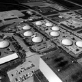
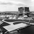
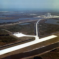
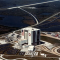
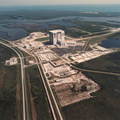
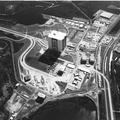
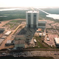
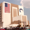
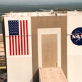
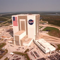
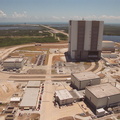
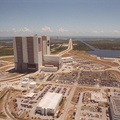
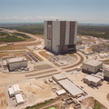
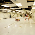
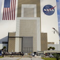
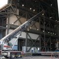
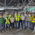
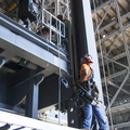
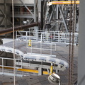
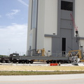
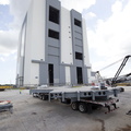
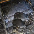
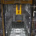
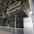
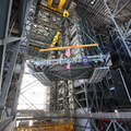
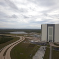
. The curved road on the near side is the newly restored crawlerway leading into the VAB high bay 2, where a mobile launcher platform/crawler-transporter currently sits. The road restoration and high bay 2 are part of KSC's Safe Haven project, enabling the storage of orbiters during severe weather. The road circles around the Orbiter Processing Facility 3 (OPF-3) at left center. OPF1 and OPF-2 are just below the curving road. The crawlerway also extends from the east side of the VAB out to the two launch pads, only one visible to the left of the VAB. In the distance is the Atlantic Ocean. To the right of the far crawlerway is the turn basin, into which ships tow the barge for offloading new external tanks from Louisiana.")
WIKIARCHIVES.SPACE
The Human Spaceflight Archive


Information
- Taken in
- Kennedy Space Center
- Author
- NASA
- Description
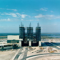
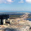
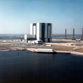
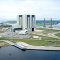
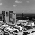
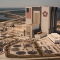
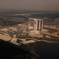
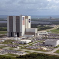
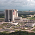
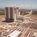
- This aerial photo captures many of the facilities involved in Space Shuttle launches. At center is the Vehicle Assembly Building (VAB). The curved road on the near side is the newly restored crawlerway leading into the VAB high bay 2, where a mobile launcher platform/crawler-transporter currently sits. The road restoration and high bay 2 are part of KSC's Safe Haven project, enabling the storage of orbiters during severe weather. The road circles around the Orbiter Processing Facility 3 (OPF-3) at left center. OPF1 and OPF-2 are just below the curving road. The crawlerway also extends from the east side of the VAB out to the two launch pads, only one visible to the left of the VAB. In the distance is the Atlantic Ocean. To the right of the far crawlerway is the turn basin, into which ships tow the barge for offloading new external tanks from Louisiana.
- Created on
- Friday 2 June 2000
- Source link
- https://science.ksc.nasa.gov/gallery/photos/2000/
- Visits
- 48
Location : 28.581239, -80.648933
- Rating score
- no rate
- Rate this photo
- License
- CC BY-NC-ND
- Modified by WikiArchives
- No (original)
- Downloads
- 0
Powered by Piwigo