. Parts of the 610 Loop, Interstate Highway 45, U.S. Highway 59 and the Sam Houston Toll Way can be easily delineated in the view. Part of the downtown area is just below center at left edge of the frame.")
WIKIARCHIVES.SPACE
The Human Spaceflight Archive


Information
- Taken in
- Author
- NASA
- Description
- This westerly-looking view over north Harris County featuring Lake Houston and the Bush Intercontinental Airport was photographed with a digital still camera from the Earth-orbiting International Space Station (ISS). Parts of the 610 Loop, Interstate Highway 45, U.S. Highway 59 and the Sam Houston Toll Way can be easily delineated in the view. Part of the downtown area is just below center at left edge of the frame.
- Created on
- Albums
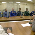
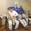
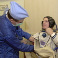
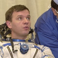
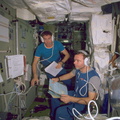
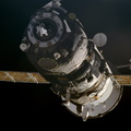
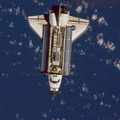
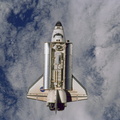
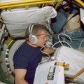
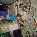
- ISS (WIP) / EXPEDITIONS / EXPEDITION 01
- Source link
- https://www.flickr.com/photos/nasa2explore/albums/72157635001704566/
- Visits
- 85
- Rating score
- no rate
- Rate this photo
- License
- CC BY-NC
- Modified by WikiArchives
- No (original)
- Downloads
- 0
Powered by Piwigo