
WIKIARCHIVES.SPACE
The Human Spaceflight Archive


Information
- Taken in
- Space
- Author
- NASA
- Description
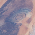
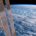
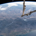
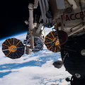
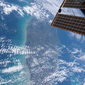
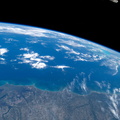
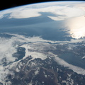
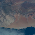
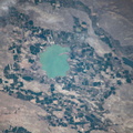
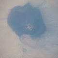
- The frozen southern tip of Hudson Bay, which lies in between Ontario and Quebec, is pictured as the International Space Station orbited 258 miles above Canada.
- Created on
- Monday 22 April 2019
- Albums
- ISS (WIP) / EXPEDITIONS / EXPEDITION 59
- Source link
- https://www.flickr.com/photos/nasa2explore/albums/72157684823968065
- Visits
- 22
- Rating score
- no rate
- Rate this photo
- License
- CC BY-NC-ND
- Modified by WikiArchives
- No (original)
- Downloads
- 0
EXIF Metadata
NIKON CORPORATION NIKON D5
- Make
- NIKON CORPORATION
- Model
- NIKON D5
- DateTimeOriginal
- 2019:04:22 14:45:17
- ApertureFNumber
- f/9.0
Powered by Piwigo