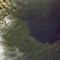
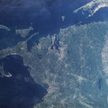
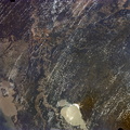
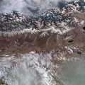
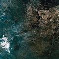
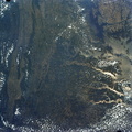
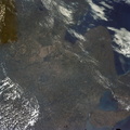
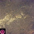
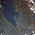
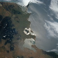
 shows a rare cloud-free area stretching from northern Long Island across the states of Connecticut, Rhode Island and Massachusetts. The total area covered by this photo is more than 25,000 square miles and includes all of Rhode Island, most of Massachusetts and Connecticut, part of New York and the coastal waters of the Atlantic Ocean. Cape Cod, Boston and the offshore islands are distinctive features.")
WIKIARCHIVES.SPACE
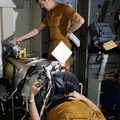
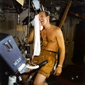
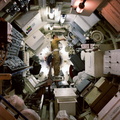
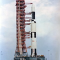
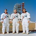
The Human Spaceflight Archive


Information
- Taken in
- Author
- NASA
- Description
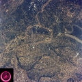
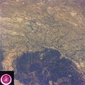
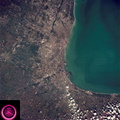
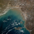
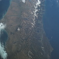
- This view of lower New England, (41.5N, 72.0W) shows a rare cloud-free area stretching from northern Long Island across the states of Connecticut, Rhode Island and Massachusetts. The total area covered by this photo is more than 25,000 square miles and includes all of Rhode Island, most of Massachusetts and Connecticut, part of New York and the coastal waters of the Atlantic Ocean. Cape Cod, Boston and the offshore islands are distinctive features.
- Created on
- Friday 22 June 1973
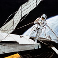
- Albums
- US SPACE PROGRAM / SKYLAB / SKYLAB 2 / Mission Photos (Original)
- Source link
- https://www.flickr.com/photos/nasa2explore/albums/72157634791373199
- Visits
- 107
- Rating score
- no rate
- Rate this photo
- License
- CC BY-NC
- Modified by WikiArchives
- No (original)
- Downloads
- 0
Powered by Piwigo