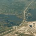
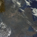
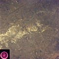
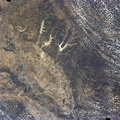
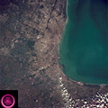
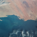
 can easily be seen as curved lines and loops roughly paralleling the present river in this view showing the former water channels. The vegetated bluffs on either side of the river define the limits of the meanders where the rich river flood plain offers some of the most fertile land for agriculture although flooding remains a constant threat.")
WIKIARCHIVES.SPACE
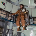
The Human Spaceflight Archive


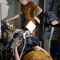
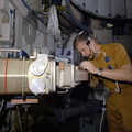


Information
- Taken in
- Space
- Author
- NASA
- Description
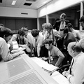
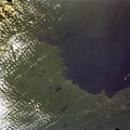
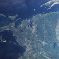
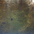
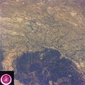
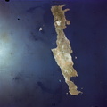
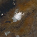
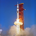
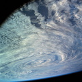
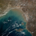
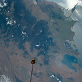
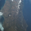
- The well defined meanderings of the Mississippi River, just to the south of St. Louis, MO (38.5N, 90.5W) can easily be seen as curved lines and loops roughly paralleling the present river in this view showing the former water channels. The vegetated bluffs on either side of the river define the limits of the meanders where the rich river flood plain offers some of the most fertile land for agriculture although flooding remains a constant threat.
- Created on
- Friday 22 June 1973
- Albums
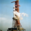
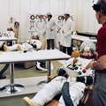
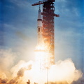
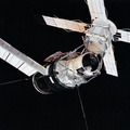
- US SPACE PROGRAM / SKYLAB / SKYLAB 2 / Mission Photos (Original)
- Source link
- https://www.flickr.com/photos/nasa2explore/albums/72157634791373199
- Visits
- 94
- Rating score
- no rate
- Rate this photo
- License
- CC BY-NC
- Modified by WikiArchives
- No (original)
- Downloads
- 0
Powered by Piwigo