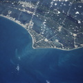
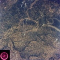
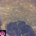
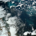
 at the head of the Potomac Estuary. Baltimore, MD, also in the scene, is connected to Washington by the Baltimore-Washington Parkway. The suburbs of both cities tend to cluster around the Washington and Baltimore Beltways. Most of the countryside in the eastern two-thirds of this scene is either heavily forested or is in farming, dairy operations or poultry production.")
WIKIARCHIVES.SPACE
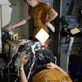
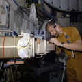
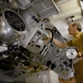
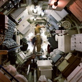
The Human Spaceflight Archive


Information
- Taken in
- Space
- Author
- NASA
- Description
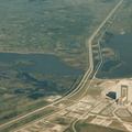
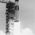
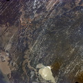
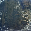
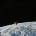
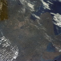
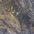
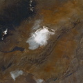
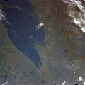
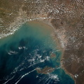
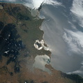
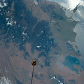
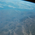
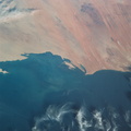
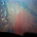
- The nation's capital lies astride the Potomac River (38.5N, 77.5W) at the head of the Potomac Estuary. Baltimore, MD, also in the scene, is connected to Washington by the Baltimore-Washington Parkway. The suburbs of both cities tend to cluster around the Washington and Baltimore Beltways. Most of the countryside in the eastern two-thirds of this scene is either heavily forested or is in farming, dairy operations or poultry production.
- Created on
- Friday 22 June 1973
- Albums
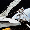
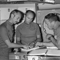
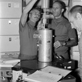
- US SPACE PROGRAM / SKYLAB / SKYLAB 2 / Mission Photos (Original)
- Source link
- https://www.flickr.com/photos/nasa2explore/albums/72157634791373199
- Visits
- 93
- Rating score
- no rate
- Rate this photo
- License
- CC BY-NC
- Modified by WikiArchives
- No (original)
- Downloads
- 0
Powered by Piwigo