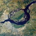
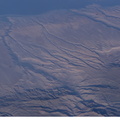
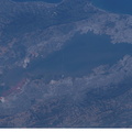
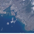
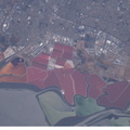
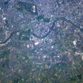
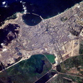
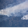
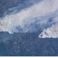
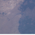
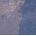
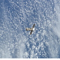
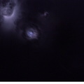
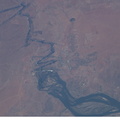
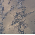
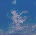
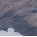
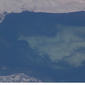
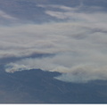
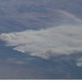
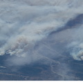
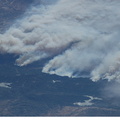
 provides a birds-eye view down the canyons of the Rio Camana (center left) and the Rio Ocona (upper right). The low early morning sun highlights the extreme topography created by rapidly uplifting mountains and powerful water erosion by water dropping nearly 10,000 feet in this view. At the edge of the image are the snowy flanks of Nevado Coropuna, the highest mountain in the Cordillera Occidental (6613 meters). The coastal city of Camana is visible in the upper left.")
WIKIARCHIVES.SPACE
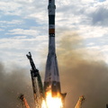
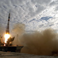
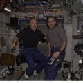
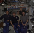
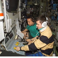
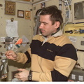
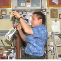
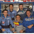
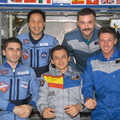
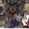
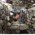
The Human Spaceflight Archive


Information
- Taken in
- Space
- Author
- NASA
- Description
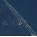
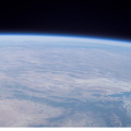
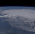
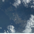
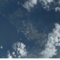
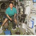
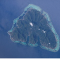
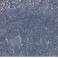
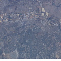
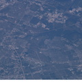
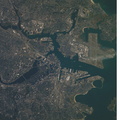
- Some of the deepest canyons in the world cut west to the Pacific from the high crest of the Andes Mountains in Peru. This view taken by an Expedition 7 crewmember onboard the International Space Station (ISS) provides a birds-eye view down the canyons of the Rio Camana (center left) and the Rio Ocona (upper right). The low early morning sun highlights the extreme topography created by rapidly uplifting mountains and powerful water erosion by water dropping nearly 10,000 feet in this view. At the edge of the image are the snowy flanks of Nevado Coropuna, the highest mountain in the Cordillera Occidental (6613 meters). The coastal city of Camana is visible in the upper left.
- Created on
- Saturday 14 June 2003
- Albums
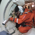
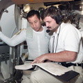
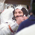
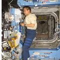
- ISS (WIP) / EXPEDITIONS / EXPEDITION 07
- Source link
- https://www.flickr.com/photos/nasa2explore/albums/72157635168177541/
- Visits
- 61
- Rating score
- no rate
- Rate this photo
- License
- Public Domain
- Modified by WikiArchives
- No (original)
- Downloads
- 0
Powered by Piwigo