
WIKIARCHIVES.SPACE
The Human Spaceflight Archive


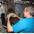


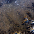
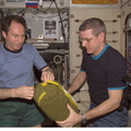


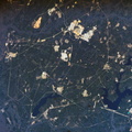


Information
- Taken in
- Space
- Author
- NASA
- Description
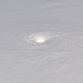
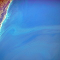
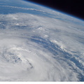
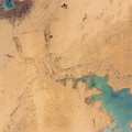
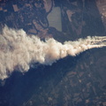
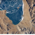
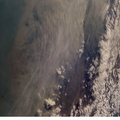
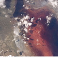
- This image of Hurricane Wilma was taken at 8:22 a.m. CDT Wednesday, Oct. 19, by the crew aboard NASA's international space station as the complex flew 222 miles above the storm. At the time, Wilma was the strongest Atlantic hurricane in history, with winds near 175 miles per hour. The storm was located in the Caribbean Sea, 340 miles southeast of Cozumel, Mexico.
- Created on
- Wednesday 19 October 2005
- Albums
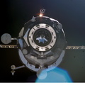
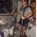
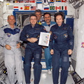
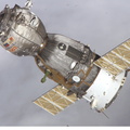
- ISS (WIP) / EXPEDITIONS / EXPEDITION 12
- Source link
- https://www.flickr.com/photos/nasa2explore/albums/72157634842026003
- Visits
- 17
- Rating score
- no rate
- Rate this photo
- License
- CC BY-NC-ND
- Modified by WikiArchives
- No (original)
- Downloads
- 0
Powered by Piwigo